Unlocking the Power of FME for Utility Asset Data Integration
Introduction:
Utility companies manage vast networks of underground pipelines, electrical assets, and other critical infrastructure. However, asset data often originates from multiple sources like GIS databases, IoT sensors, SCADA systems, and historical records. The challenge lies in integrating these disparate datasets into a unified GIS environment while maintaining topological consistency and adhering to utility rules.
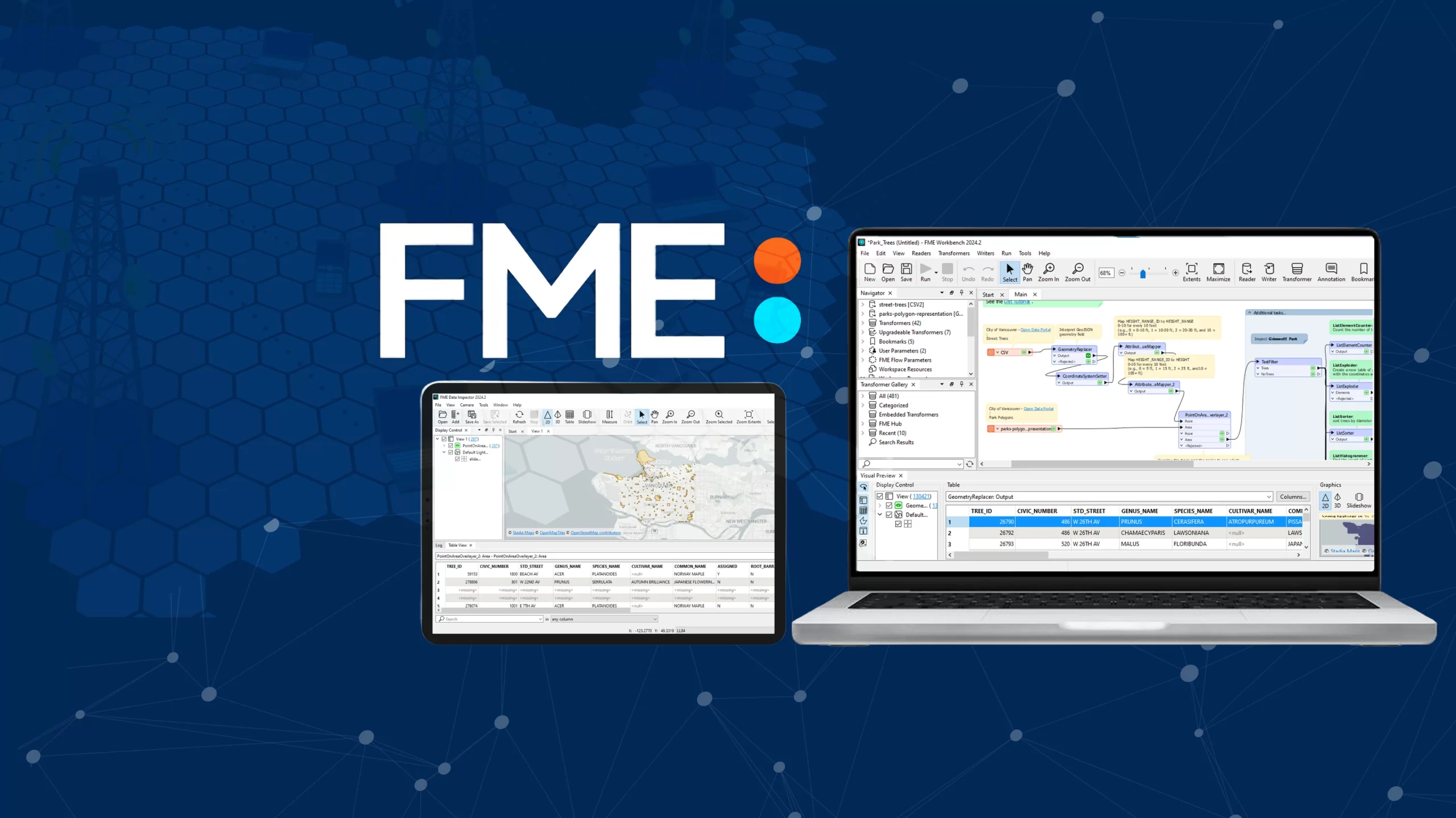
This is where FME (Feature Manipulation Engine) excels, automating the entire Extract, Transform, Load (ETL) process to streamline data migration, enforce topology rules, and integrate real-time SCADA data. In this blog, we explore how utility companies can leverage FME to automate asset data integration, eliminate data silos, and improve GIS workflows for better operational efficiency.
Challenges Faced by Utility Companies
Data Silos: Asset data exists in different systems—GIS, SCADA, relational databases, and IoT platforms.
Topological Errors: Inconsistent network connectivity, gaps, or overlaps in pipeline and electrical networks can lead to operational inefficiencies.
SCADA & IoT Integration: Bringing real-time sensor data into GIS requires robust ETL automation.
Data Migration Complexity: Transferring asset data from legacy systems to modern GIS platforms requires schema transformation and validation.
By leveraging FME, utility companies can automate data transformation, enforce topological integrity, and enable seamless integration with GIS platforms like ArcGIS, QGIS, and PostGIS.
Step-by-Step Implementation with FME
Step 1: Extracting & Ingesting Data from Multiple Sources
FME supports multiple data Readers, allowing seamless extraction from various systems:
SCADA Connector – Reads real-time telemetry data such as flow rates, pressure levels, and outage reports.
Excel & CSV Files – Imports legacy asset records and maintenance logs.
IoT Sensor Data Streams – Connects to MQTT brokers to ingest real-time field sensor data.
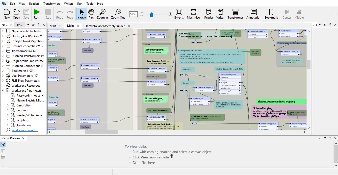
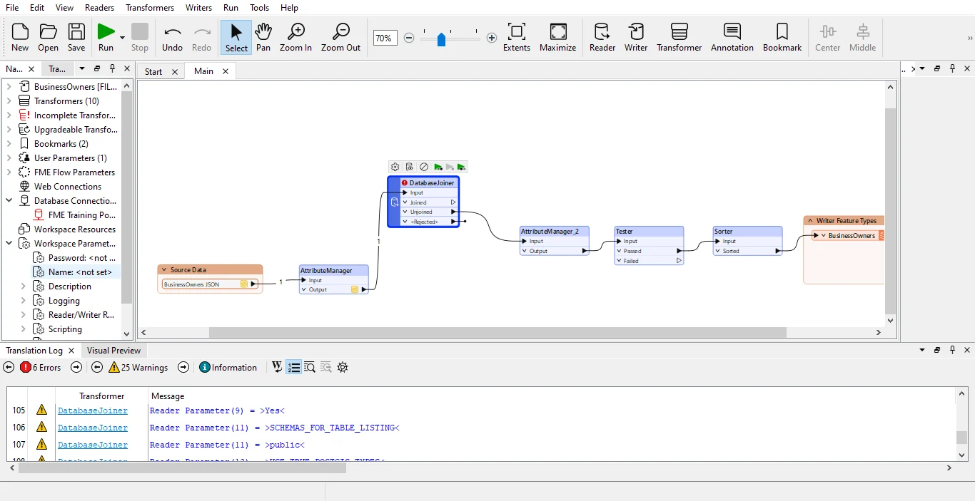
Step 2: Data Transformation, Topology Validation & Utility Rules Enforcement
Once extracted, raw data requires processing to ensure consistency and compliance with utility standards.
1. Enforcing Topology Rules
TopologyBuilder – Computes topology on input point, line, and/or area features, and outputs significant nodes, edges, and faces with attributes describing topological relationships.
OverlapRemover – Detects and resolves overlapping assets.
Snapper – Corrects misaligned nodes in utility networks.
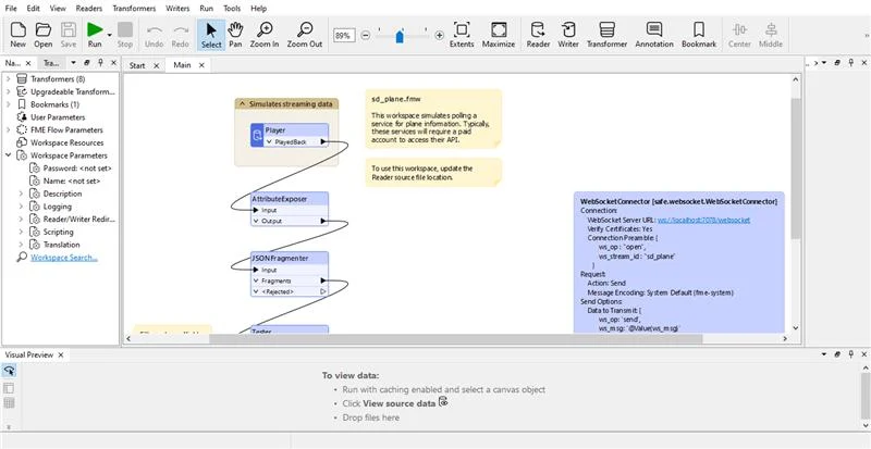
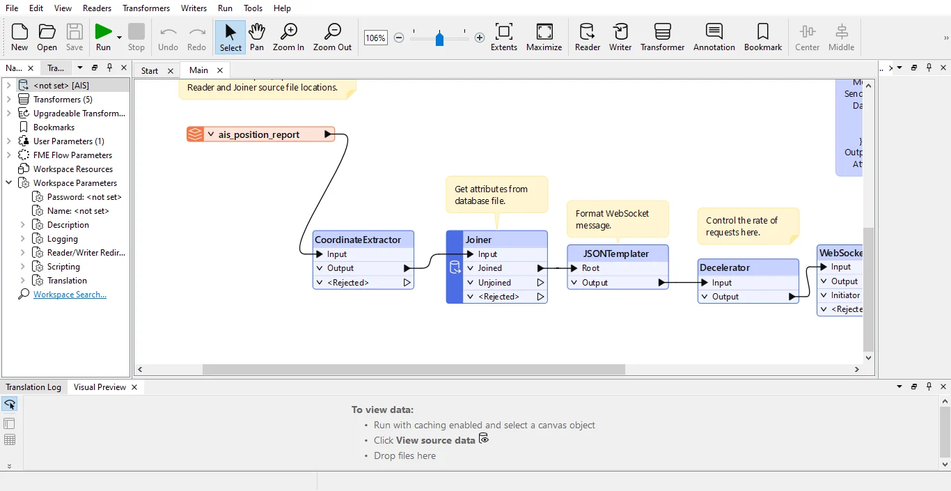
2. SCADA & IoT Data Integration
Attribute Manager – Maps SCADA data (e.g., pressure readings) to GIS asset layers.
Date Time calculator – Aggregates real-time sensor data for trend analysis and predictive maintenance.
Attribute Validator – Flags abnormal sensor values and triggers alerts for potential failures.
3. Data Cleansing & Standardization
Schema Mapper – Harmonizes asset attributes across different databases.
NullAttribute Mapper – Fills missing values to ensure data completeness.
Expression Evaluator – Validates attributes based on predefined utility business rules.
Step 3: Migrating & Loading Data into GIS Systems
Once transformed and validated, the cleaned asset data is loaded into enterprise GIS platforms:
FME is a game-changer for utility companies seeking to eliminate data silos, enforce topology rules, and automate SCADA integration. Whether handling real-time sensor data, validating network topology, or migrating asset datasets, FME provides a scalable, no-code solution for efficient geospatial data management.
By leveraging FME, utility companies can:
Ensure Data Integrity – Enforce utility rules and topology consistency.
Automate Workflows – Reduce manual intervention in GIS data processing.
Enhance Decision-Making – Enable predictive analytics and real-time monitoring.
Want to see this in action?
Ready to streamline your GIS workflows? Get in touch with Hexamap to see FME in action!
Nimisha Srivastava is a Pre-Sales Consultant who is enthusiastic about the Geospatial field and has great communication skill. She has an year’s experience in the geospatial industry and is always eager to learn new things.