Revolutionizing forestry management through advanced GIS solutions, Hexamap seamlessly integrates spatial intelligence to optimize
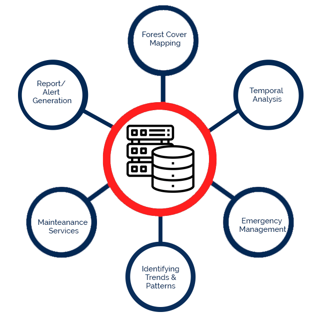
GIS for forestry provides crucial information about the natural resources and helps to plan & manage in sustaining these resources. GIS can perform Forest cover mapping, comparative analysis, Forest Fire modelling , Animal tracking , landscape and Habitat planning, Further, the results of these analysis can be visualized and reported to support in tactical decision making.