Geospatial Reporting and Analysis

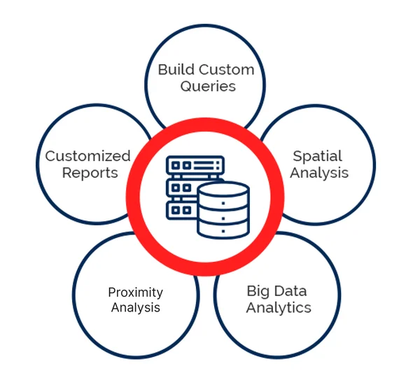
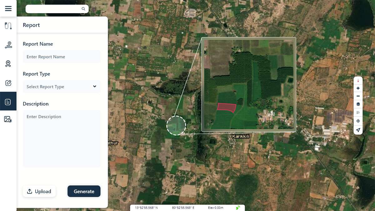
Makes Analytical Insights with customized report

OVERVIEW

Geospatial analytics is used to add time and location to traditional types of data for the purpose of building data visualizations. GIS performs various analysis like measure distance, buffer, overlay, Image rendering, Interpolate, which can be done in web and desktop platforms. Geospatial reporting enables the user to generate the report as per their requirements.

GIS in Geospatial Reporting

WHAT HEXAMAP PROVIDES FOR Geospatial Reporting and Analysis

Enterprise GIS Solution Deployment

Data Migration

GIS Desktop Customization

Mobile Application

Integration with other sub systems

Reports as per user requirements

BENEFITS OF Geospatial Reporting and Analysis

  • Develop targeted solutions.
  • Enable user to perform various Analysis based on the use cases.
  • Create Meaningful insights & visualisations.