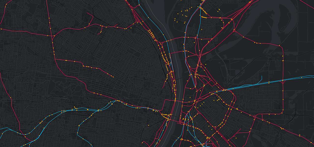
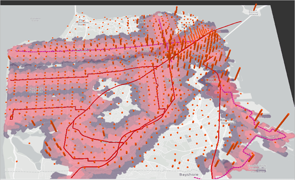
At Hexamap, we harness the power of GIS in transportation to revolutionize public transport and railway systems. Efficient public transport is vital for sustainable urban growth, reduced congestion, and improved quality of life. Application of GIS in transportation provides the advanced tools needed to plan, manage, and enhance these systems effectively.
Route Planning and Optimization
Passenger Information Systems
Root Cause Analysis
Scheduling and Timetable Management
Safety and Emergency Response
Time Series Analysis
Asset Management
Environmental Impact Analysis
Construction Progress Monitoring System for Railway track:
A prominent railway construction client engaged Hexamaps to develop a comprehensive construction progress monitoring system. With no existing database, we created a detailed, chainage-based database to map the entire railway track and track construction progress and material usage. We implemented an interactive dashboard for real-time visualization and used time series analysis for monitoring work progression. Additionally, linear referencing was utilized for precise documentation of activities, and yard tracking was employed for effective resource management. This solution significantly improved project management efficiency and set a new standard for railway infrastructure monitoring.
Location Intelligence in Railways
Location intelligence leverages spatial data to provide actionable insights for railway management. By integrating real-time location data with GIS, railways can optimize route planning, enhance asset management, and improve operational efficiency. This allows for precise monitoring of train movements, better scheduling, and more effective response to maintenance needs.
Why Choose Hexamap?
At Hexamap, we specialize in delivering tailored GIS and Location Intelligence solutions that meet the unique challenges of public transport and railway management. Our team of experts combines technological prowess with industry knowledge to provide you with the tools and insights needed for efficient and effective transportation management using GIS in transportation.
Get in Touch
Ready to revolutionize your public transport and railway systems with Location Intelligence? Contact us today to discover how Hexamap can support your projects with our expertise in GIS for transportation planning, GIS in transportation management, and public transportation GIS.


