A leading power distribution company serving millions of consumers across urban and rural areas faced challenges in efficiently managing and expanding their Smart Metering Infrastructure. With a growing customer base, the company aimed to modernize its metering network to improve operational efficiency, enhance customer experience, and enable real-time energy monitoring. However, their existing manual processes and legacy systems limited their ability to scale smart meter deployments efficiently. The lack of a centralized, GIS-enabled platform made it difficult to identify optimal installation sites, track smart meters, and respond to service disruptions promptly.
Recognizing these limitations, they sought an advanced GIS-based Smart Meter Planning Application that could streamline deployment, improve monitoring, and enhance decision-making capabilities.
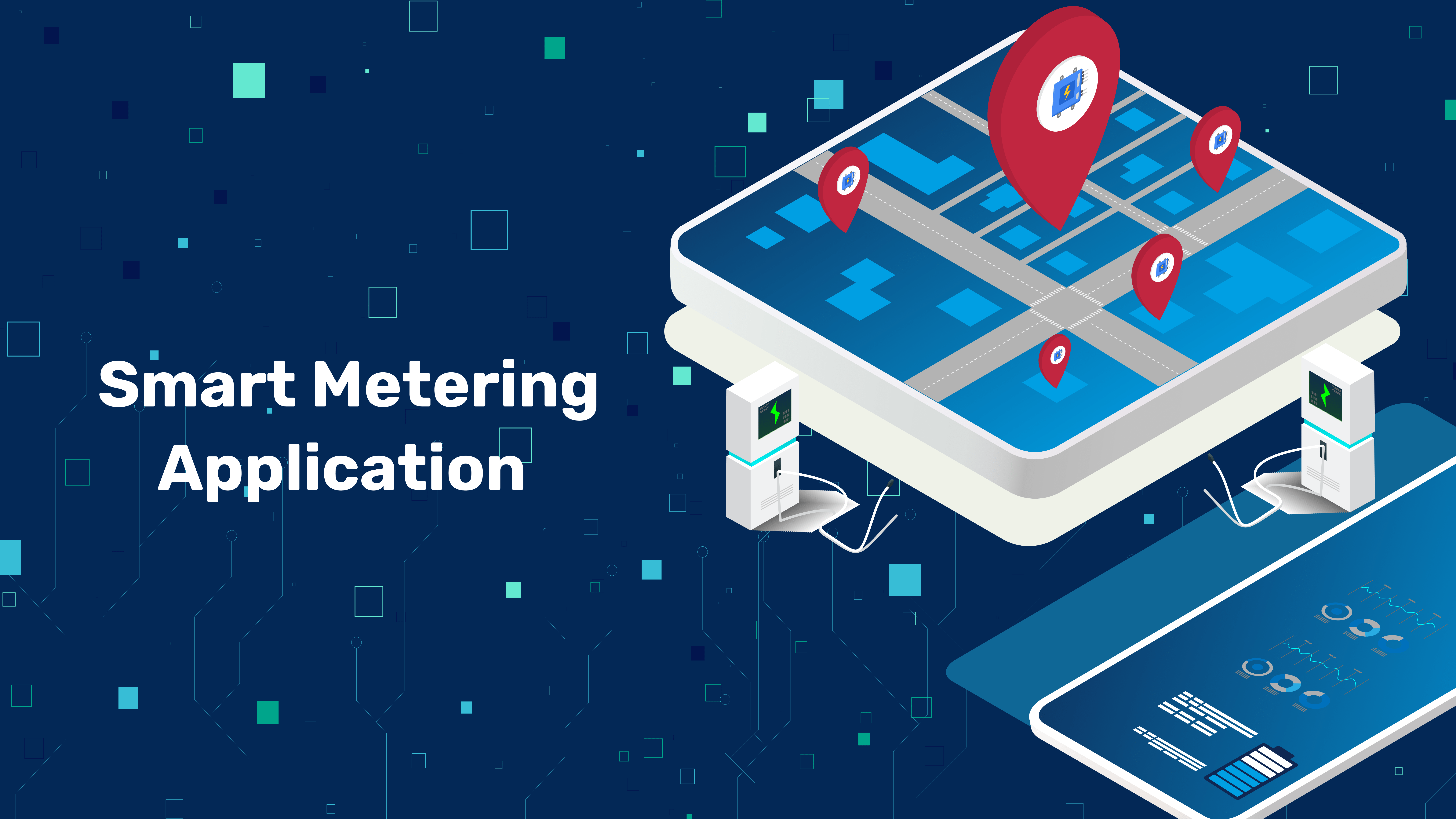
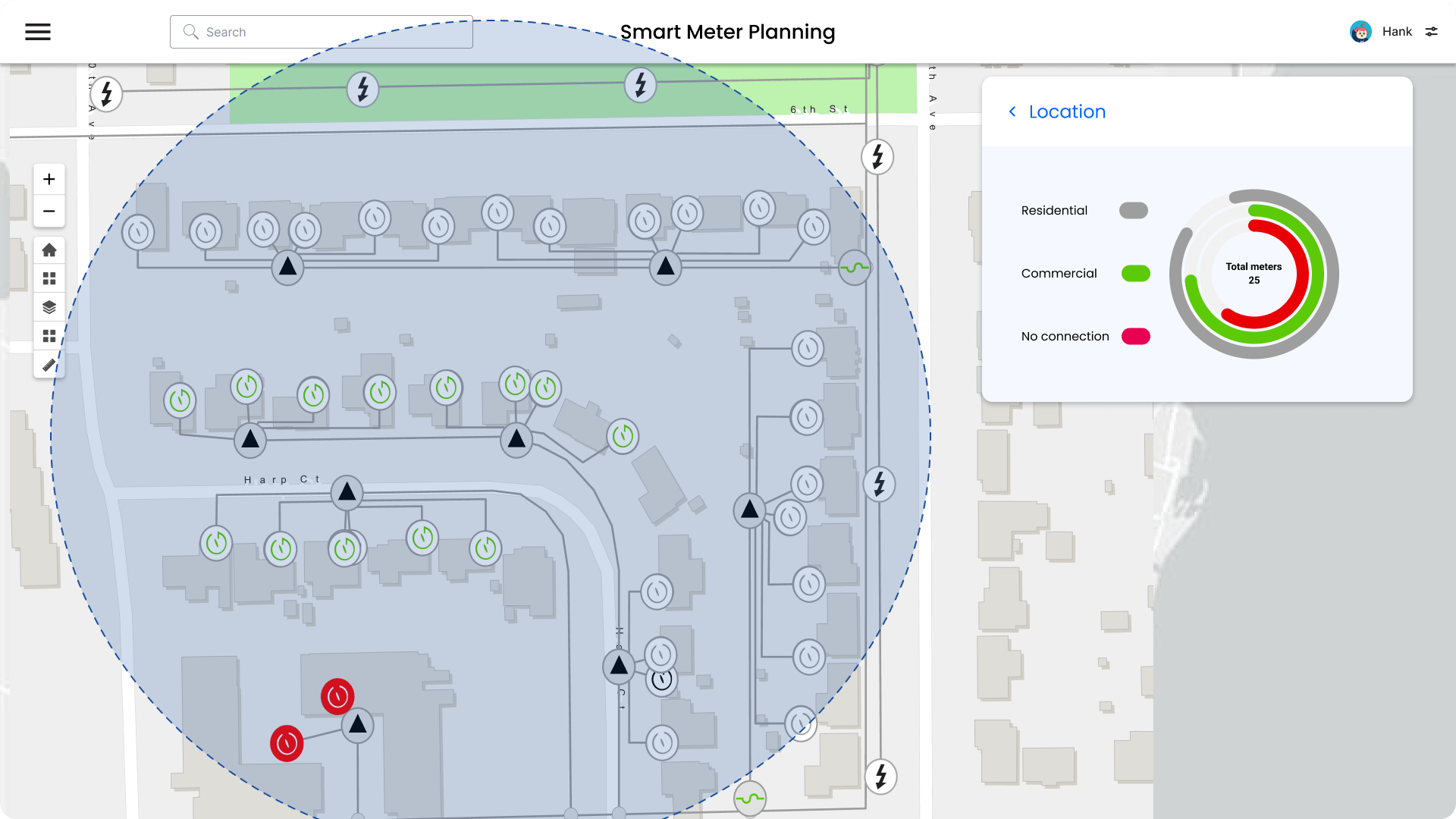
Smart Meter Planning Application is a GIS-powered web platform designed to optimize the planning, deployment, and management of Smart Metering Infrastructure. By integrating real-time geospatial data with smart meter analytics, the solution provides:

Network Infrastructure: Displaying power lines, transformers, substations, and other network assets.
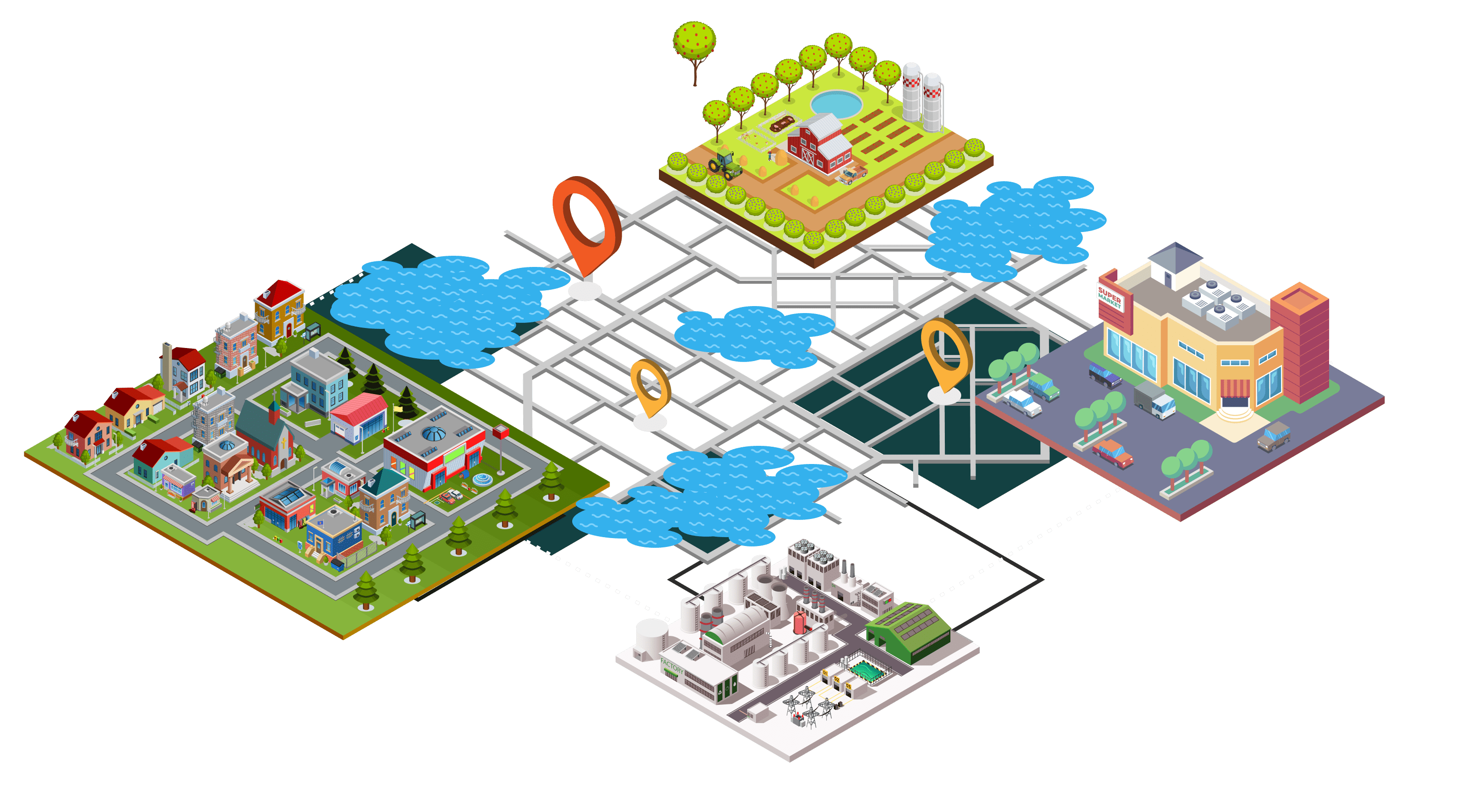
Land Use/Zoning: Understanding the type of area (residential, commercial, industrial)
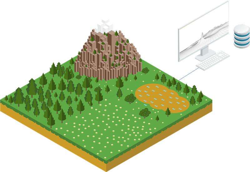
Terrain Data: Elevation data for planning communication networks.
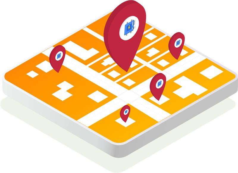
Existing Smart Meter Locations: Visualizing existing smart meters to optimize network planning and identify areas for expansion.

The implementation of the Smart Meter Planning Application led to a 40% reduction in manual intervention by automating meter readings, service disconnections, and maintenance processes. The GIS-based site selection feature helped in reducing operational cost due to streamlined planning.
Looking for automating and streamlining your process to achieve operational efficiency through GIS contact Hexamap Solutions today.
Experienced GIS professional with 2 decades of expertise in geospatial analysis, data management, and solution development. Skilled in ArcGIS, Python, and open-source GIS tools, with proven success in cloud-based solutions and automation. Extensive experience implementing GIS solutions across diverse sectors (Electrical, Construction, Survey, Utility and Land Management), Specializing in spatial data modeling, precision mapping, and geospatial analysis. A proven track record of delivering high-quality, collaborative projects, optimizing performance and automating workflows.

