Hank’s Quirky Guide to GIS Project Management
Project management is challenging no matter the industry — but when it comes to GIS there’s a whole new level of complexity involved. Having managed both traditional IT projects and GIS-focused implementations, we’ve come to appreciate the subtle (and sometimes not-so-subtle) differences that make GIS project management uniquely demanding — yet incredibly rewarding.
However, managing a GIS project comes with its own unique set of challenges—different from traditional IT project management. In this blog, We’ll Walk you through some of the critical lessons our Project managers learnt — from managing last-minute requirement changes to working with different teams and juggling multiple stakeholder expectations.
Unlike IT projects, where workflows and control systems are often well-defined, GIS projects are inherently more fluid and data dependent. Spatial data plays a major role –projection systems, data formats, and availability issues often complicate execution. GIS projects demand not just technical expertise, but also the ability to simplify spatial concepts for non-GIS stakeholders. It’s not just about building systems—it’s about visualizing space, solving real-world problems, and communicating them clearly.

From data quality to the ability to visually communicate spatial analysis to non-GIS stakeholders, the complexity is multifaceted. One of the most persistent challenges in any GIS project is dealing with coordinate systems—a true nightmare even for seasoned professionals. What seems like a simple mismatch in projection can spiral into data misalignment, inaccurate analysis, and hours of troubleshooting. Whether it’s switching between WGS 84 and NAD83, or untangling local vs. global datums, coordinating system confusion can derail progress in subtle yet significant ways. Data from different sources often arrive in incompatible projections, and without careful transformation, layers don’t line up, spatial relationships become distorted, and results lose their reliability. For non-GIS stakeholders, it’s an invisible issue, but for GIS professionals, it’s a constant balancing act—ensuring precision behind the scenes so that the maps and insights delivered are not just visually correct, but spatially accurate.

“If there’s one thing that has caused more headaches in GIS projects than scope creep or unrealistic deadlines, it’s coordinate systems.”
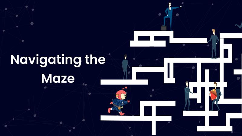
Managing spatial data is never as simple as plug-and-play. The moment you bring in datasets from multiple sources—each using different projections or datums—you’re stepping into a complex maze of spatial misalignment, data distortion, and endless troubleshooting. What appears as a minor mismatch in projection can throw off your entire analysis. Layers don’t align, distances skew, and features drift just enough to undermine the integrity of the insights you’re trying to generate.
GIS professionals are constantly walking a tightrope: reprojecting datasets accurately, identifying mismatches before they propagate errors, and ensuring all layers are speaking the same spatial language. It’s not just a technical task—it’s a meticulous process that demands deep expertise and an unwavering attention to detail. Behind every spatial dashboard or beautifully aligned map is a GIS analyst or a developer who’s fought—and hopefully won—the battle of the coordinate systems.
Change is inevitable in any project, but how teams respond makes all the difference. While small tweaks like UI adjustments are manageable, larger changes demand strategic action.
We always try to start by communicating with both the client and internal teams to assess feasibility and adjust timelines accordingly. Others suggest pushing significant changes to subsequent phases after ensuring client buy-in. We’ve found that clear communication, empathy for the end user’s perspective, and proactive planning go a long way in preventing scope creep.

Managing offshore development across time zones— Middle East, Southeast Asia, Africa US can stretch working hours, but the team handles it with finesse. They align working schedules according to time zones. Sometimes, it’s early mornings to late nights, but time management is the key.

Across the team, clear communication, effective task delegation, and time-block planning consistently emerged as key strategies for successful GIS project delivery. Emphasizing the value of breaking down project timelines into manageable working hours rather than broad day-based estimates—allowing for better tracking and focus. The importance of transparency and always having a backup plan in place to handle unexpected changes. The team also agrees to the mistakes that are inevitable, but what matters most is acknowledging them, learning from them, and ensuring they aren’t repeated. Underpinning all of this is the emphasis on trust, empathy, and building strong relationships—both within the team and with clients. Especially when working with new clients, establishing clarity and open communication from the outset is critical to building long-term partnerships.

Each team member shared moments that left a lasting impact:
GIS project management is dynamic, challenging, and deeply rewarding. With the right mix of strategy, adaptability, and communication, even the most complex spatial problems can be turned into powerful solutions.
From data coordination to visual storytelling, from field surveys to digital dashboards—our work turns location data into real-world impact. The key lies not only in technical skills, but in building relationships, embracing flexibility, and never losing sight of the bigger picture.

