For years, Geographic Information Systems (GIS) have been the foundation of spatial planning, analysis, and decision-making. They digitized the world—turning paper maps into interactive layers, automating calculations like buffering and overlay, and helping governments and businesses manage land, resources, and infrastructure with precision.
But let’s be honest: GIS was never built for the speed of today’s world. It thrives in structured, predictable workflows but falters when applied to fast-moving, real-time operations. That gap is now being filled—not by traditional GIS evolution, but by Artificial Intelligence (AI).
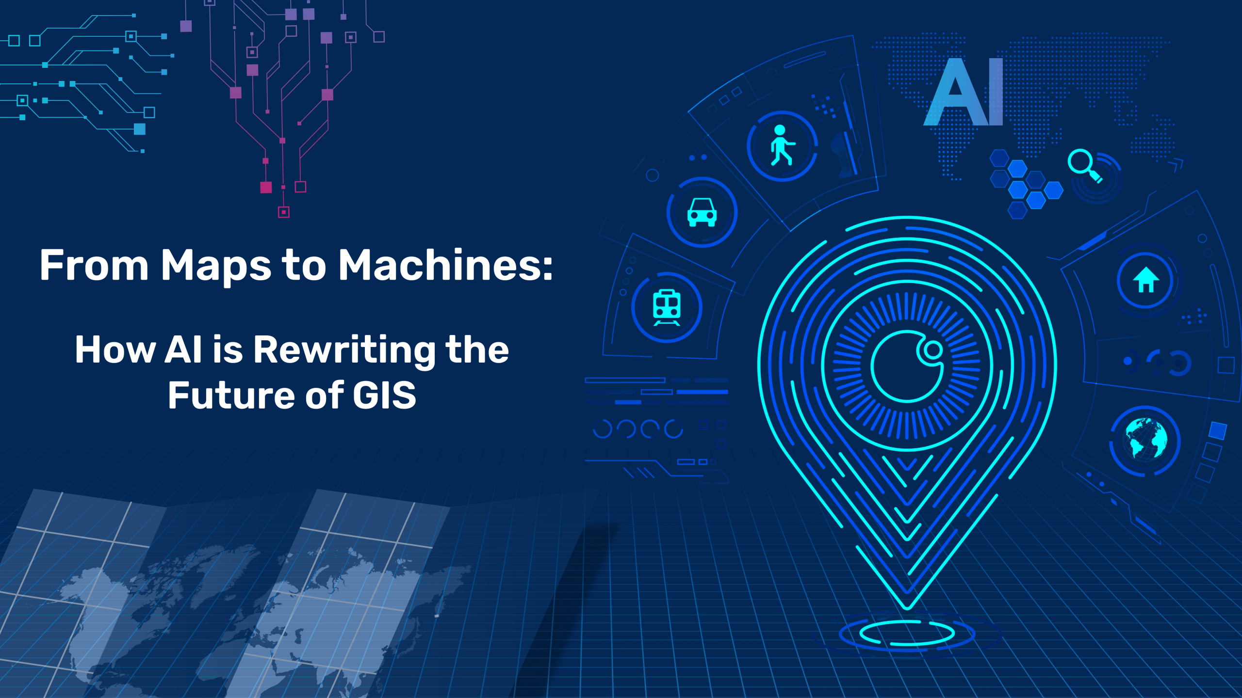
We are entering a new era where GIS dissolves into the background and AI makes geospatial data operational, dynamic, and intelligent.

Classic GIS is excellent at answering well-formed questions: Where are the flood-prone zones? What’s the best route for a pipeline? Which parcels fall within this boundary?
The challenge comes when the questions aren’t neat and tidy—when environments are changing every second. Think:
AI doesn’t just analyze data—it interprets it, adapts to it, and acts on it. When paired with geospatial information, it turns static maps into living systems.
This shift is not just about efficiency—it’s about resilience. AI-powered GIS makes operations proactive, not reactive.
What’s happening isn’t a software upgrade, it’s a paradigm shift. For decades, GIS systems were deterministic. Analysts defined the rules, and the software applied them.
Now, with machine learning, large language models, and autonomous agents, GIS can write its own playbook. Instead of programming every scenario, we train systems to recognize patterns, make predictions, and take action autonomously.
Think of it as moving from a map that tells you where the roads are, to a digital guide that drives the vehicle for you.
Here’s the catch: the most exciting advances in geospatial AI aren’t coming from traditional GIS vendors. They emerge from companies like Hexamap Solutions, research labs, and big tech. Unless the GIS community embraces openness and innovation, it risks being left behind.
To stay relevant, we need to:
The future isn’t about “doing GIS faster.” It’s about reimagining how geospatial data drives decisions in an intelligent, connected world.
So where do we start? Organizations should experiment now—at small but meaningful scales:

These aren’t moonshots. They’re stepping stones toward a future where geospatial data isn’t just stored or visualized but activated in real time.
Maps won’t disappear, they’ll become the quiet infrastructure behind intelligent systems that think and act on our behalf. The real story isn’t about GIS itself, but about how AI is redefining the role of place, time, and context in every decision we make.

