
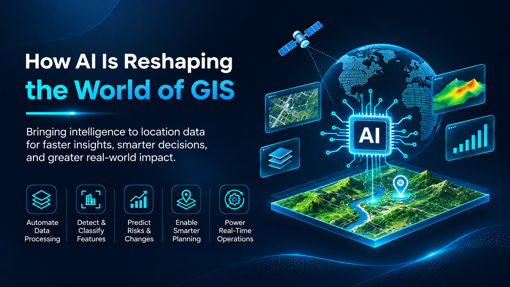
Imagine a city experiencing heavy rainfall. Within minutes, roads begin to flood, traffic slows down, and emergency teams need to identify which neighbourhoods are most at risk. Traditional Geographic Information Systems (GIS) can help analyse elevation, drainage networks, rainfall patterns, and historical flood data. But what if the system could go a step further predicting which areas are likely to flood next, identifying vulnerable infrastructure, and helping decision-makers prioritise their response before the situation escalates?
GIS has long been used to collect, manage, visualize, and analyze location-based information. From urban planning and environmental monitoring to utility management and disaster preparedness, GIS helps organizations understand the relationship between people, infrastructure, and their surroundings. However, as the volume of spatial data grows through satellite imagery, drones, IoT sensors, mobile applications, and field surveys, traditional analytical approaches can become time-consuming and difficult to scale.
AI models introduce new possibilities by identifying complex patterns, automating repetitive tasks, predicting future conditions, and extracting meaningful insights from large datasets.
AI is not replacing GIS it is enhancing its analytical capabilities. By integrating machine learning, deep learning, computer vision, and emerging generative AI technologies into spatial workflows, GIS professionals can analyse more data, uncover hidden relationships, and generate insights more efficiently.
Satellite images, aerial photographs, and drone imagery contain valuable information about the Earth’s surface. Traditionally, extracting features such as buildings, roads, water bodies, and vegetation requires considerable manual interpretation.
AI-powered computer vision and deep learning models can automatically identify and classify these features from imagery. For example, a model can detect buildings across a large urban area, identify changes in forest cover, or map roads in a recently developed region.
Traditional GIS analysis often uses existing data to understand current conditions or examine historical patterns.
For instance, AI models can support flood susceptibility mapping by analysing terrain, rainfall, drainage, and historical flood records. Similarly, they can help identify areas vulnerable to wildfires, predict changes in land use, or assess the likelihood of infrastructure failures.
Understanding how a location changes over time is essential for urban development, environmental protection, and infrastructure planning.
AI models can compare satellite images and other spatial datasets collected at different times to identify changes such as urban expansion, deforestation, shoreline movement, and new construction.
AI can combine multiple datasets to help answer complex location-based questions. By analysing population density, road networks, service locations, land use, and demographic information, AI-assisted GIS workflows can support decisions such as where to establish a new hospital, how to improve emergency access, or which areas lack essential services.
Integrating AI into GIS workflows offers several practical advantages.
AI can combine multiple datasets to help answer complex location-based questions. By analysing population density, road networks, service locations, land use, and demographic information, AI-assisted GIS workflows can support decisions such as where to establish a new hospital, how to improve emergency access, or which areas lack essential services.
AI extends GIS beyond describing existing conditions by helping estimate future risks and trends. This is valuable for disaster preparedness, infrastructure planning, environmental management, and resource allocation.
AI-assisted workflows can process extensive geographical datasets, making them useful for regional land monitoring, nationwide infrastructure mapping, and large-scale environmental assessments.
AI-powered interfaces can simplify how users interact with GIS. When appropriately designed, natural-language tools and automated analytical workflows can help non-specialists explore spatial information without requiring extensive GIS expertise.
AI is changing the way we use GIS to understand the world around us. Instead of relying only on maps and manual analysis, we can now use AI to identify patterns, track changes, and predict potential risks, helping us make better decisions.
From identifying flood-prone areas to tracking urban growth and monitoring critical infrastructure, AI-powered GIS helps turn large amounts of geographic data into useful information that can solve real-world problems.
However, AI alone cannot do everything. Reliable data, the right analytical methods, and human expertise are still essential to achieving meaningful results. When these elements work together, GIS becomes more powerful and practical.
As AI continues to evolve, it will open up new possibilities for GIS professionals to work more efficiently and tackle complex challenges.
The future of GIS is not just about knowing where things are, but understanding what is happening, predicting what might happen next, and using that knowledge to make better decisions.