We’re excited to share that Hexamap Solutions is now an official EOS Partner, marking a significant leap in our ability to deliver high-accuracy, field-ready geospatial solutions. This partnership combines EOS’s world-class GNSS positioning technology with Hexamap’s expertise in GIS automation, data validation, and enterprise mapping platforms — creating a new standard for precision-driven field operations.
EOS Positioning Systems (EOS) is a global leader in high-accuracy GPS/GNSS solutions, renowned for developing reliable, scalable, and cost-effective technologies designed for professionals who require sub-meter to centimeter-level accuracy in the field. EOS devices — such as the Arrow Series GNSS receivers — are trusted across industries like utilities, environmental management, surveying, and smart infrastructure for their robust performance and easy integration with mapping software like ArcGIS Field Maps and Collector.
By partnering with EOS, Hexamap now offers an ecosystem where real-time field data collection, accurate location intelligence, and seamless GIS integration come together to enhance decision-making and operational efficiency.
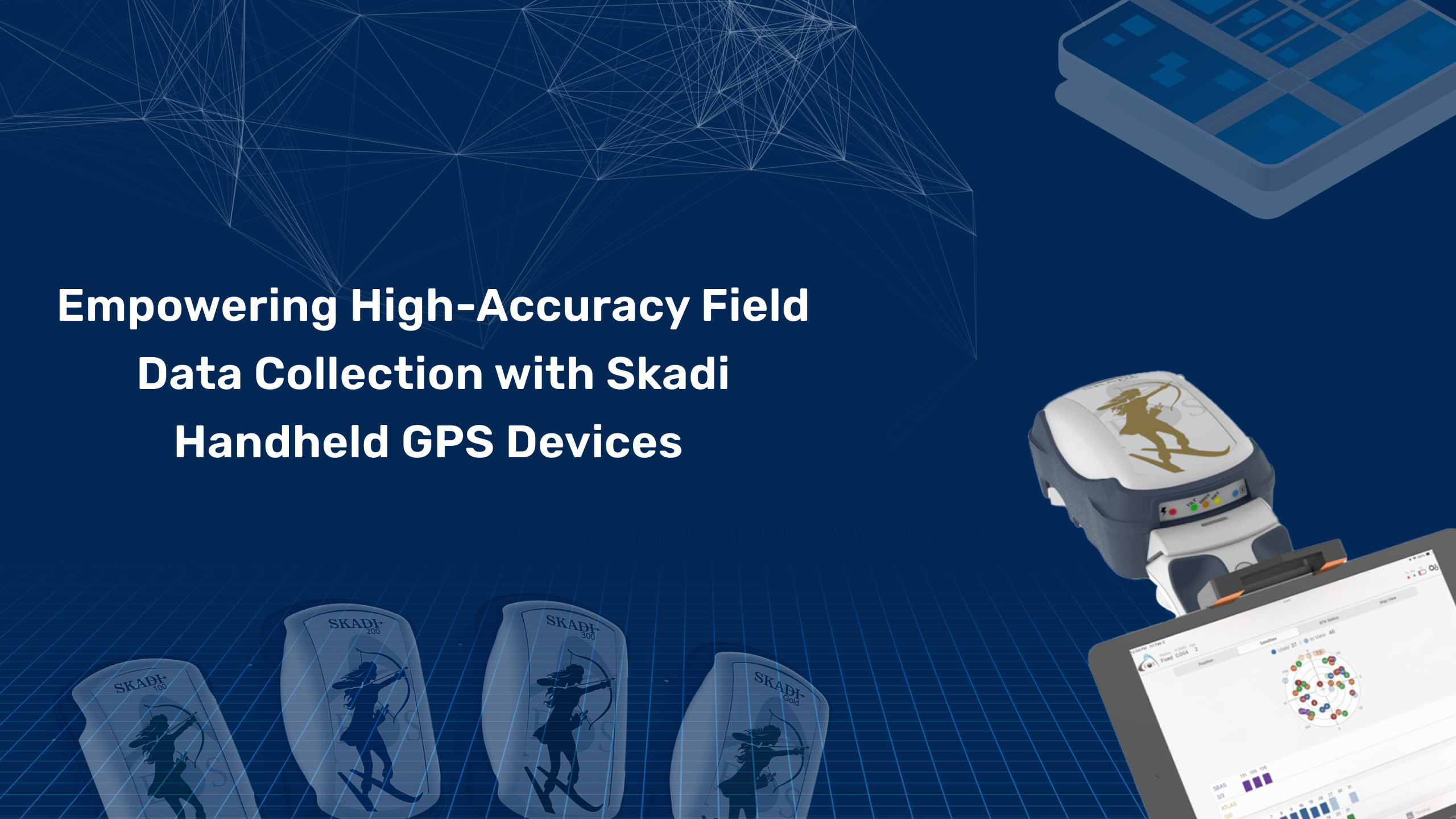
During our field testing, Hexamap teams extensively used the Skadi Handheld GPS device, a rugged and versatile tool that complements EOS GNSS receivers perfectly.
Key highlights of our experience include:
Together, EOS GNSS receivers and the Skadi Handheld GPS create a powerful data collection workflow — ensuring that every field of observation is accurate, validated, and GIS-ready.
Utility companies often manage thousands of undergrounds and above-ground assets — from pipelines and cables to transformers and valves. Many rely on outdated paper maps or legacy GIS databases with positional inaccuracies exceeding several meters. These inaccuracies lead to inefficient maintenance operations, higher excavation risks, and costly project delays.
Field teams are equipped with Skadi Handheld GPS devices paired with EOS Arrow GNSS receivers, delivering centimeter-level accuracy even in dense urban or semi-rural areas.
The workflow integrates directly with Hexamap’s GIS automation platform, where:
The EOS–Hexamap partnership strengthens our shared goal — to empower field professionals with accurate, efficient, and intuitive geospatial tools. As we continue to integrate EOS GNSS hardware and Skadi handheld devices into our workflows, we aim to set new benchmarks for data quality, positional accuracy, and operational excellence in GIS implementations.
With precision at the core, we’re redefining how organizations collect, validate, and visualize geospatial data — from the field to the enterprise.

